
While safety has always been a core priority for us, over the last ten years San Diego Gas & Electric (SDG&E) has invested more than $3 billion dollars into a variety of innovative programs, technologies and initiatives to reduce utility-related wildfires, build regional resiliency in the face of increasing wildfire risk and climate change, and protect the communities we all live in and serve. This includes building one of the most sophisticated weather networks in the nation.
SDG&E has over 100 cameras that allow us to constantly monitor our service territory for wildfires. This state-of-the art network includes 17 high-definition, live-streaming, pan-tilt-zoom cameras that help CAL FIRE more quickly find and assess wildfires so they can develop initial plans of attack.
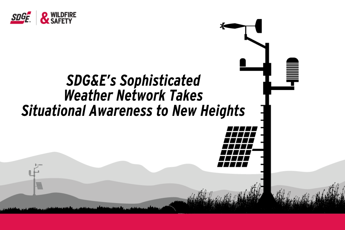
In addition to an extensive camera network, as of 2021, the company has built over 220 weather stations throughout areas of the region with the highest fire risk – on average one station for every 12 square miles. This extensive weather network can gather and share the latest data about the weather every 30 seconds.
SDG&E is also the first in the state to use specialized cameras that measure chlorophyll (a pigment that gives plants their green color and allows them to photosynthesize) in vegetation, with specialized sensors that also measure the levels of moisture of these plants. Dry plants and vegetation are considered a source of fuel during times of high fire risk. The information collected these cameras allows SDG&E to have more detailed weather updates, which helps us better determine fire risk at any given time of the year.
One of the latest enhancements to this network, however, takes forecasting to new heights – space. Satellites are used by our company to detect and monitor wildfire activity from space. Along with detecting potential fires, satellite data paired with SDG&E’s network of cameras in the field can also be used to determine the exact location of fires.
Lastly, using over a billion weather observations collected over the last decade, SDG&E has created models with the help of artificial intelligence for its weather stations, which improves the accuracy of our forecasts. SDG&E runs tens of millions of simulations – yes you read that right – every night based on evolving weather and vegetation conditions to monitor wildfire threats.
To learn more about SDG&E’s advanced weather network, visit https://www.sdge.com/community-fire-safety-program.